Coastal areas in southern China take precautions for typhoon Wutip set to make landfall on Friday

Fishermen reinforce their boats and take precautions against strong winds at a dock in Qionghai, South China's Hainan Province, on June 11, 2025. Typhoon Wutip is expected to make landfall along coastal areas on June 13, which will make it the first typhoon to make landfall in China in 2025. Photo: VCG
A tropical depression intensified into the first typhoon of this year, Wutip, on Wednesday morning, which is expected to bring heavy squally showers to the coastal areas in the southern part of China, as it gradually edges closer to and is expected to make landfall in the region, where affected provinces have taken precautions.
According to China's National Meteorological Center (NMC), the typhoon formed at 8 am in the South China Sea will gradually intensify while moving at 10 to 15 kilometers per hour toward coastal areas from southern Hainan to western Guangdong. It is expected to make landfall along these coastal areas on Friday and may become the first typhoon to make landfall in China this year. After landfall, it will turn northeastward and gradually weaken in intensity.
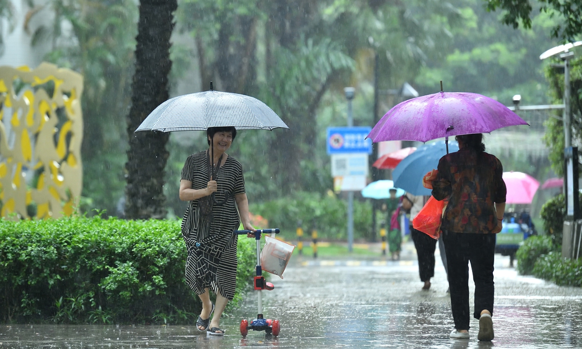
Affected by the typhoon, the southern parts of the country including Hainan and Guangdong provinces and South China's Guangxi Zhuang Autonomous Region are expected to experience widespread rainfalls from Wednesday to Saturday, with parts of the area expected to experience heavy downpours. In particular, some areas in the central and eastern parts of Hainan will experience heavy rains with 100 to 150 millimeters of rain, chinanews.com reported on Wednesday.
According to historical statistics from the NMC, the formation date of this year's first typhoon is more than two months later than average formation date on March 25. Nevertheless, the average date for the first typhoon making landfall in China, based on the statistics from the NMC between 1991 and 2020, is June 27. If Wutip makes landfall as currently forecast on June 13, it will be earlier than the long-term average, according to chinanews.com.
The late arrival of typhoons can reduce the risk of compounded disasters caused by frequent early typhoons, according to Ma Jun, director of the Beijing-based Institute of Public and Environmental Affairs.
For example, the shortened period of typhoons during the agricultural production cycle is beneficial for the growth of crops in the early stages. It also reduces the risk of interruptions to early summer fishing operations, making it safer for offshore fishing during peak seasons, Ma told the Global Times on Wednesday.
However, coastal area affected by the first typhoon to make landfall in China should take precautions, Ma noted.
The meteorological authorities warned on Wednesday that wind and rainfall will gradually intensify in Hainan, Guangdong and other regions in the following three days and reminded the public to stay informed through updated forecasts and warnings, and take necessary precautions.
From Saturday to Sunday, as the typhoon and its circulation move northward, heavy rainfall will also shift northward, affecting areas such as East China's Jiangxi, Fujian and Zhejiang provinces.
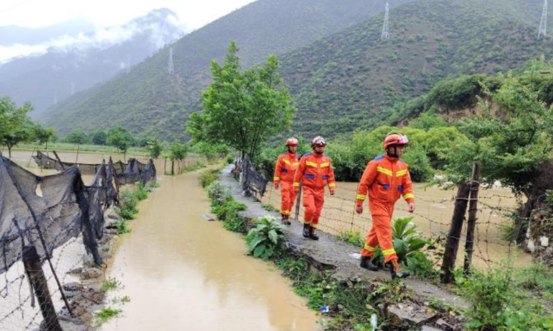
China's State Flood Control and Drought Relief Headquarters and China's Ministry of Emergency Management on Wednesday held a joint consultation with meteorological departments to assess the development of the typhoon and to plan and coordinate flood and typhoon prevention efforts. The State Flood Control and Drought Relief Headquarters launched a Level IV emergency response at noon Wednesday for flood and typhoon prevention in Guangdong and Hainan, and dispatched two working groups to Guangdong and Hainan to provide assistance and guidance, China Central Television reported on Wednesday.
The provincial meteorological service and the ocean monitoring and forecasting center in Hainan subsequently issued a Level IV typhoon warning and a blue (Level IV) wave warning, advising the public of the heightened risks of secondary disasters such as urban and rural flooding, geological disasters, and flooding in small and medium-sized rivers. The authorities also reminded that operating vessels and offshore platforms should take precautions against strong winds, and relevant departments should strengthen the management of ships in port, according to chinanews.com.
In Guangdong, the office of the provincial flood, drought and typhoon control headquarters issued a notice on Tuesday requiring all localities and departments to effectively carry out current wind and flood prevention efforts to ensure the safety of people's lives and property, CCTV reported.
The local meteorological authorities forecast on Wednesday that, affected by the typhoon, the province will experience its heaviest rainfall from Friday to Sunday since the start of this year's flood season.
Authorities reminded the public to take precautions, including securing trees prone to toppling and temporary structures, and to remain alert for secondary disasters such as urban and rural flooding, flash floods, mudslides, landslides and flooding in small and medium-sized river basins.
RELATED ARTICLES